MTB Routes
Guadiana Nature Trail
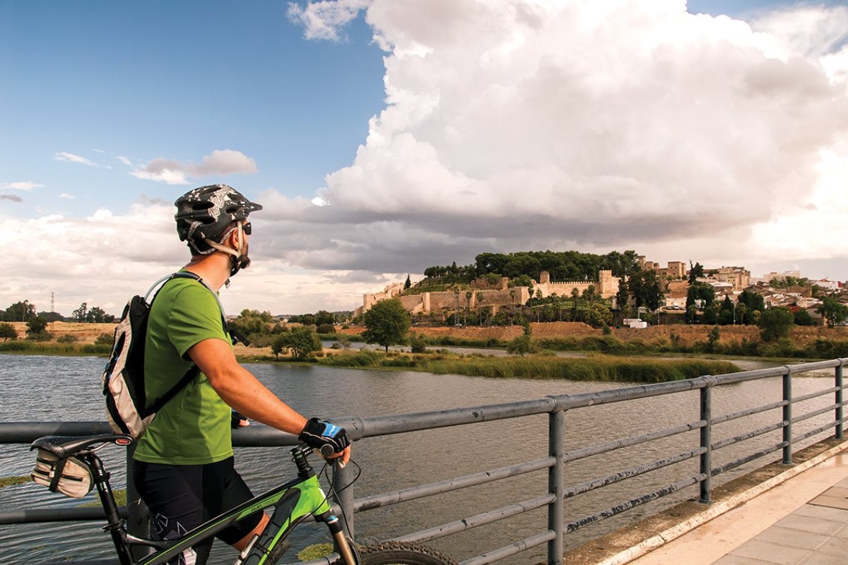
At the banks of the Guadiana River.
- Extremadura BTT
- MTB routes
- Nature trails
- Guadiana Nature Trail
MTB Routes
Guadiana Nature Trail
At the banks of the Guadiana River.
The Guadiana Nature Trail runs for about 1004 km on the riverbed of its riverbed, from its birth at Lagunas de Ruidera up to the Portuguese border, passing by large reservoirs of Extremadura and the fertile irrigation plains to which they supply water.
The stretch in Extremadura, which runs entirely through the Badajoz province has been divided into six stages totalling 326 km, adding the necessary alternative tracks to make cycling possible through the tracks. The track is signposted as the Guadiana Nature Trail (GR 114), except for the alternative tracks mentioned above.
Downloads
STAGE 1: Villarta de los Montes – Castilblanco
The stage starts at the town of Villarta de los Montes, in the Regional Hunting Reserve of Cíjara. Following in the Herrera del Duque path we ascend to puerto del Lobo, a route which at this point enters into the immense pine forests up to the vicinity of Helechosa of los Montes, continuing on the Helechosa to Castilblanco path.
Throughout the route it is possible to spot the flight of griffon vultures and black storks, as well as numerous herds of deer and fallow deer. Finally, the route turns toward the south west parallel to the Guadiana riverbed until it reaches N-502, where the road crosses the river and go towards Castilblanco, a town which marks the end of the stage.
Downloads
- KML file of the stage
- Topographical guide of the stage
- Map of the stage
STAGE 2: Castilblanco – Herrera del Duque – Peloche – Casas de Don Pedro
The stage starts at Castilblanco and once again crosses the Guadiana river on the N-502 to go towards Herrera del Duque, on the only mud path of the route. A route which from here on follows the path of BA-138 until it reaches Peloche, a town on the shores of the García de Sola reservoir, where the visitor may enjoy its renowned bathing area.
The road continues skirting the reservoir offering spectacular scenery, without going any further we are at the Puerto Peña and Sierra de los Golondrinos Special Bird Protection Area. At this point, the stage is notably smooth, passing through the tail end of the Orellana reservoir, a place where we may spot numerous aquatic birds, apart from enjoying the first river beach of Spain that boasts of a blue flag.
Finally, after going ahead for about 15 km along the channel, we arrive at Casas de Don Pedro, and the stage ends in this town.
Downloads
- KML file of the stage
- Topographical guide of the stage
- Map of the stage
STAGE 3: Casas de Don Pedro – Orellana de la Sierra – Orellana la Vieja
The stage starts at Casas de Don Pedro and goes towards the town Talarrubias on the BA-137, although this route does not reach the town. A trail, including in the Orellana and Sierra de Pela Special Bird Protection Area and Areas of Regional Interest, which leads us to Puebla de Alcocer, where we able to enjoy the spectacular views of the region from its imposing castle.
We will arrive at the Cogolludo bridge and tunnel, where the original Guadiana riverbed crosses, where the ruins of the Roman town of Lacimurga are located. Finally, we go up to Orellana de la Sierra and from here to Orellana la Vieja, and the stage ends at this town which has the only freshwater beach of Spain, also marked with a blue flag.
Downloads
- KML file of the stage
- Topographical guide of the stage
- Map of the stage
STAGE 4: Orellana la Vieja – Entrerríos – Medellín
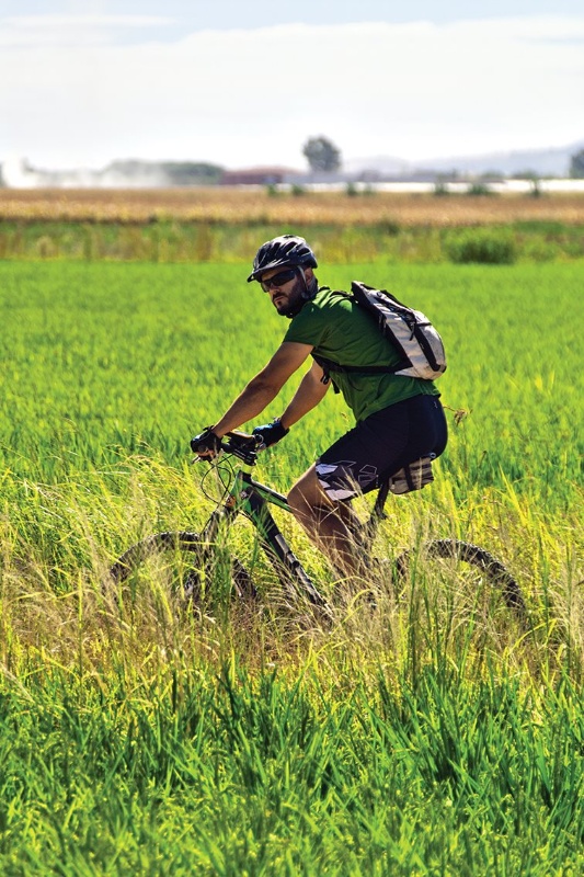
The stage starts at Orellana la Vieja and runs parallel to the Guadiana river to join the canal track for 8 km. This track after taking the Villanueva de la Serena path enters into fruit, corn and rice fields, a landscape that accompanies us until we cross the Guadiana river over the Entrerríos channel, again over the Zújar river channel.
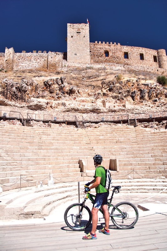
After crossing this river the route runs parallel to the Guadiana riverbed bordering Villanueva de la Serena, also passing through a myriad of irrigated fields until the crossing with Vía Verde Vegas del Guadiana. The route then continues on the river bank, near the Martel mill, following the Guadiana path we directly arrive at Medellín, and this town marks the end of the stage. It visit must be paid to its archaeological remains as well as its magnificent Castle and the restored Roman Theatre.
Downloads
- KML file of the stage
- Topographical guide of the stage
- Map of the stage
STAGE 5: Medellín – Villagonzalo – La Zarza – Mérida
The stage starts at Medellín and continues parallel to the Guadiana river. After crossing the a Guadámez river over a channel, the stage passes alongside Guijo, a small hill which happens to be one of the few elevated points of these plains. An interesting place for birdwatching.
The route joints the EX-307 road, which crosses to once again follow in parallel to the Guadiana River until reaching Villangonzalo. The route continues down the river until crossing the railway line to take on one of the few climbs on the route, which will take us up to La Zarza.
We cross the Matachel river three times and reach the Cañada Real de La Zarza, from here on we use the bike lane on the banks of the Guadiana river that will lead us to Mérida.
Downloads
- KML file of the stage
- Topographical guide of the stage
- Map of the stage
STAGE 6: Mérida – Gévora – Badajoz
We start from Mérida by following the banks of the Guadiana river downstream, to cross it over the Montijo dam and continue on the service track of the channel until La Garrovilla. The stage continues between the Guadiana and Guadianilla rivers, until it crosses the A-5 road and once again passes between both the rivers up to the Lobón bridge.
Here a 15 km asphalted stretch commences, which for the most part corresponds to the agricultural tracks path. After returning to firm land until EX-209, near to Pueblonuevo del Guadiana, we cross the railway line and pass along Novelda del Guadiana, Sagrajas and Gévora towns, to finally enter Badajoz on the bike lane. It is a city where we may take a stroll and explore its typical corners such as the Arab Alcazaba and the Plaza Alta.
Downloads
- KML file of the stage
- Topographical guide of the stage
- Map of the stage