MTB Routes
Cáceres – Badajoz Nature Trail
Various areas of special protection for birds make up of this trail.
- Extremadura BTT
- MTB routes
- Nature trails
- Cáceres – Badajoz Nature Trail
MTB Routes
Cáceres – Badajoz Nature Trail
Various areas of special protection for birds make up of this trail.
This route connects Cáceres and Badajoz, the capital cities of Extremadura via the Cáceres-Tagus Nature Trail link, to unite this last route with the Guadiana Nature Trail, thus creating a trail hub between the great journeys for MTB in Extremadura.
The 110 km corridor is divided into two 53 km and 57 km stages respectively, passing through two natural protected areas of great importance: Cáceres and Sierra de Fuentes Special Bird Protection Area, and Sierra de San Pedro Area of Regional Interest
The entire route is signposted as a Nature Trail except for some small sections where diverging tracks have been designed and sought to improve its cyclability.
Downloads
STAGE 1: Cáceres – Puebla de Obando
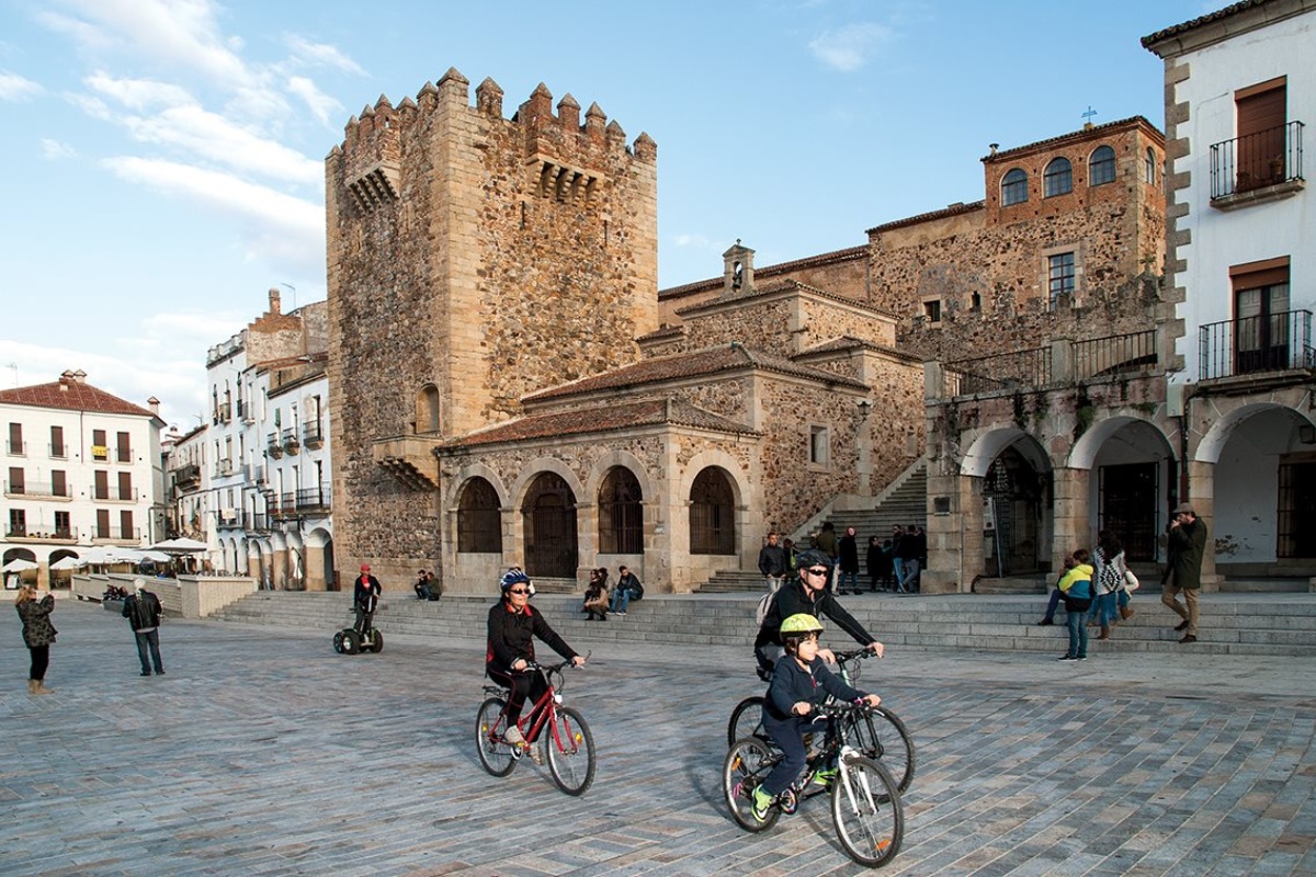
The stage and the route begins in the monumental city of Cáceres, coinciding its departure point with the Vía de la Plata route until crossing the Salor river, after leaving behind the town of Valdesalor. The cyclist then enters Llanos de Cáceres until crossing the Ayuela river. From here, the stage runs parallel to the EX-100 road and enters Sierra de San Pedro, where the most winding area of the stage begins.
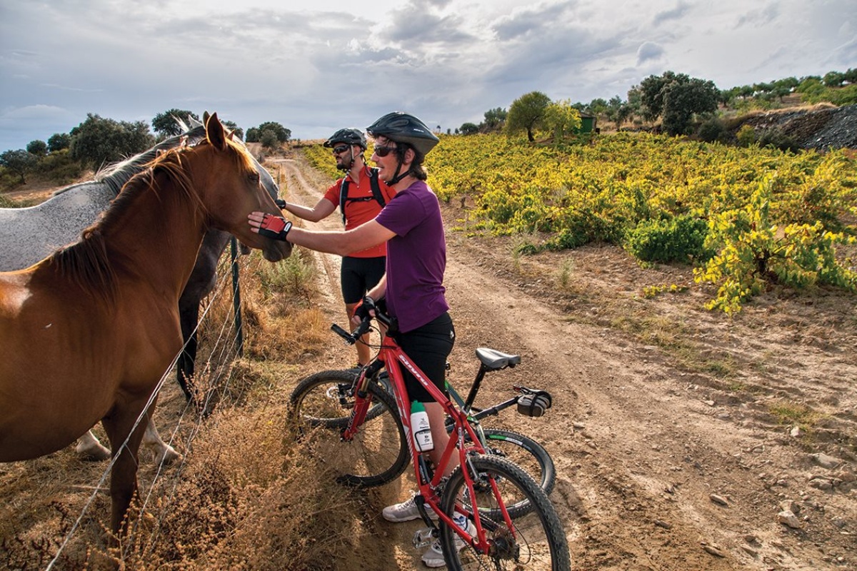
These mountains are home to numerous protected species such as the Iberian imperial eagle and the black vulture. Nor will it be difficult to spot herds of deer along the way.
The route diverges from the path of the road, through a sea of holm and cork oak trees to reach Puebla de Obando, the final destination of the stage.
Downloads
- KML file of the stage
- Topographical guide of the stage
- Map of the stage
STAGE 2: Puebla de Obando – Villar del Rey – Valdebótoa – Gévora – Badajoz
The stage begins in Puebla de Obando, climbing the Zángano pass, the highest point of the journey. After the descent, the cyclist enters a meadow land with holm and cork oak trees, an ideal area for birdwatching.
The stage continues without going off the track until Villar del Rey. We continue on the Sancha Brava track which runs parallel to the road until it lines-up with the riverbed of the Zapatón river.
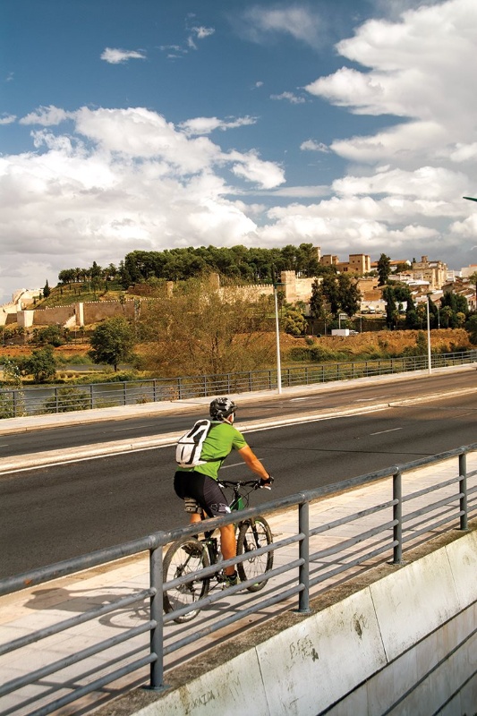
Soon we will leave behind the Bótoa military base and reach the Gévora river where the landscape is dotted with orchards and corn fields. The visitor will be accompanied by these fields for the rest of the route passing through the towns of Valdebótoa and Gévora until reaching the final destination, Badajoz.
Downloads
- KML file of the stage
- Topographical guide of the stage
- Map of the stage